All of our tem members have been working so hard during the break. We have also faced certain restrictions.
#Sprezzatura tag search was not working well with the NYC latitude and longitude data that we were looking for. We decided to choose a more fashion-themed tag that already pulled images from NYC. We made an alternative plan to focus on the tag #NYFW (New York Fashion Week). This would be our MVP (Minimum Viable Products).
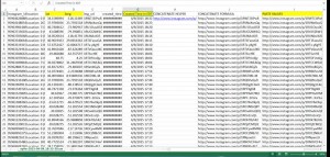
Tessa highlighted the fields that will be relevant for CartoDB including Latitude/ Longitude and created time. She adjusted for NY time zone. She also included the image URL.
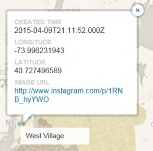
Minn updated Carto DB. He posted the images based on NYC open data. First, he custom designed the 5 boroughs of map on Mapbox then exported into CartoDB. Later on, he filled 5 boroughs of New York with polygons. Lastly, he placed pins on specific areas.


